Other Services
ALTA / NSPS Survey
Farmland Preservation
ALTA / NSPS Survey

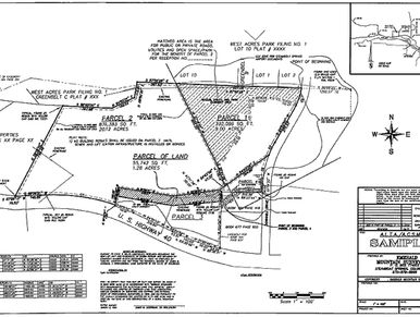
ALTA/NSPS Land Title Surveys (or ALTA for short) are often required by title insurance companies and financial institutions in real estate transactions. These surveys must meet strict standards set by the America Land Title Association (ALTA) and the National Society of professional Surveyors (NSPS). An ALTA survey typically includes boundary lines, easements, encumbrances and the location of site improvements. In more complex ALTA surveys, we’ve provided zoning information, elevations, ground contours and subsurface utility information.
As-Built Survey
Farmland Preservation
ALTA / NSPS Survey
As-Built Surveys are usually performed at the end of a construction project to verify that the work completed met the specifications on the approved design plans. We perform a complete survey of the site to confirm that the buildings and/or infrastructure such as storm water, sanitary sewer, storm basins, waterlines and roadways proposed were built or installed in the proper location and at the proper elevation. We can also perform As-Built Surveys throughout different stages of construction. The plan shown is an example of an As-Built Survey we performed to verify the volume capacity of the stormwater basin.
Farmland Preservation
Farmland Preservation
FEMA Flood Elevation Certificate
.jpg/:/cr=t:0%25,l:0.15%25,w:99.7%25,h:100%25/rs=w:388,h:291.72932330827064,cg:true)
Pennsylvania farmers can voluntarily preserve their agricultural land through a program known as the Agricultural Security Area Program. Before their land can be considered for preservation, famers must obtain an Agricultural Preservation Survey in order to map out the boundary of the agricultural land. We provide the farmer or their representative with a survey map that locates all man-made structures, depicts the property boundary and states the calculated area of the land to be preserved. Through farmland preservation, Pennsylvania has protected more farmland than any other state as recognized by the American Farmland Trust.
FEMA Flood Elevation Certificate
FEMA Flood Elevation Certificate
FEMA Flood Elevation Certificate
Land Grant Surveyors has years of experience in preparing FEMA Flood Elevation Certificates for homeowners. An Elevation Certificate is usually required by a lender or insurance company when a property is bought/sold or being refinanced. An Elevation Certificate can reduce, or in some cases, eliminate the high cost of flood insurance.
Legal Description
FEMA Flood Elevation Certificate
Topographic Survey
A Legal Description is a document that precisely defines the boundaries of a parcel of land. A legal description is always included in a property deed, but it can also be used for easement creation, right-of-way creation and to legally establish the boundaries of each parcel in a new subdivision.
Topographic Survey
FEMA Flood Elevation Certificate
Topographic Survey
Topographic Surveys provide detailed information about a parcel of land including spot elevations and ground contours. Once the field work is completed and we have collected all the necessary data, we provide a detailed and accurate base map that can be used in land development planning, subsurface utility design, or a number of other engineering purposes.
Track / Stadium Survey
Track / Stadium Survey
Track / Stadium Survey

The team at Land Grant Surveyors has the acumen to certify sports tracks which contributes to outstanding records set by athletes to be certified for new record. This certification is required for sports arenas, tracks and university sports complexes.
This website uses cookies.
We use cookies to analyze website traffic and optimize your website experience. By accepting our use of cookies, your data will be aggregated with all other user data.